Beachmed Association Site
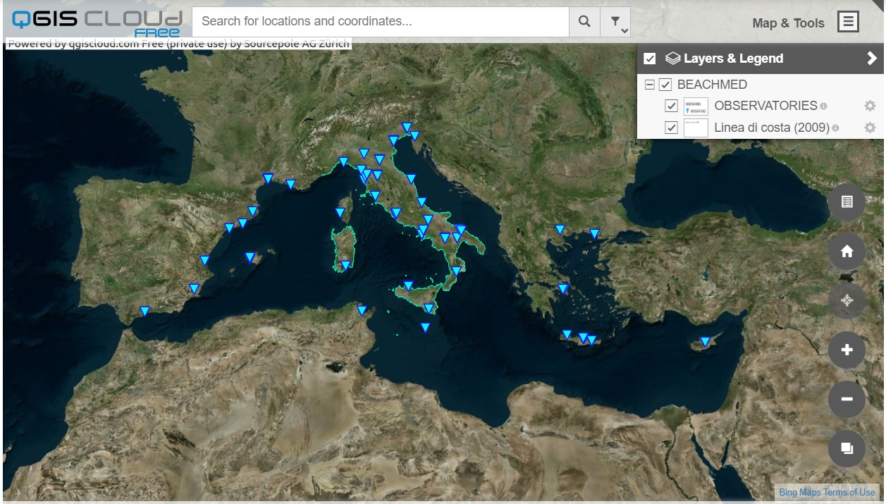 This prototype of webgis has the first objective to represent the structures (especially administrations) that carry out data collection on coastal management (MED Observatories).
Based on the shareable information layers (WMS,WFS,…) made available by the different Observatories , coastal lines and other morphological elements of interest are reported
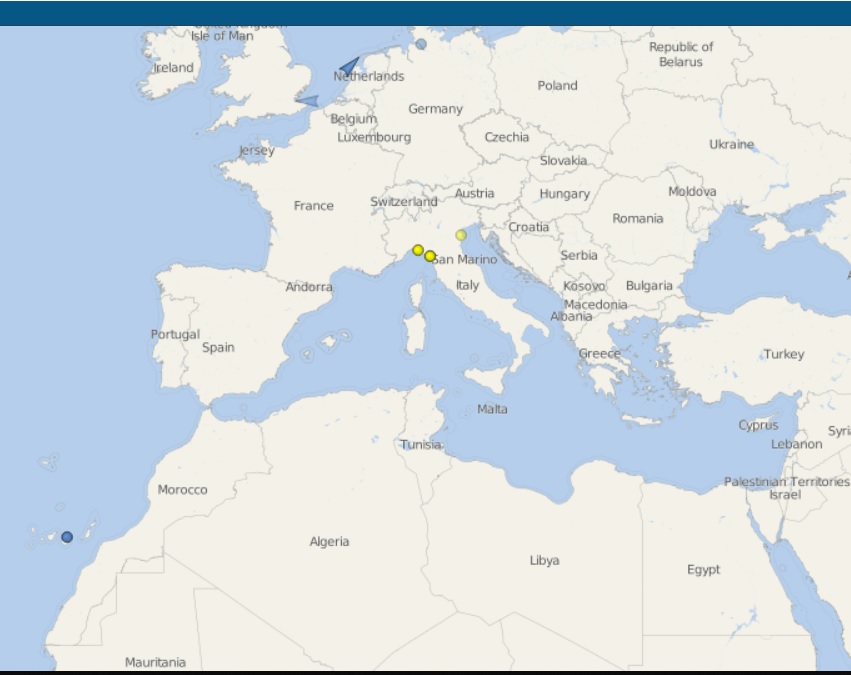 Using the “Vesselfinder" platform, the dredgers and vessels of interest in maritime work are reported. The distance between the vessels from workplaces is an important factor in mob-DEMOB costs.
Only the vessels indicated of interest will be displayed on the map. If you wish to report new boats, please let them know via the “Contacts" function